
Design & Research > Photography
Photography grid
Figure 1: Overlay of the photography scheme. The map was photographed through a grid frame. The grid was prepared for a photography to consist of four strips each strip consisting of six images. The scale of the photography was designed to be 1:2. Each grid cell of 20 cm x 25 cm was covered with an image of size of 4" x 5" (color diapositive) or 9 cm x 12 cm (b/w negative).
Imaging geometry
Figure 2: The photography was made using a Sinar repro camera. The objective was a 180 mm macro Sinacron. The grid was lifted up in order to allow the image to cover the full area of the grid cell. The distance of the photography was 66 cm.
Figure 3: The grid was used both for quiding the photography and for controlling the geometry between adjacent images. These images will be used for 2-D mosaicking of the entire map. The photography was recorded both on color diapositive film (100 ASA Kodak Ektachrome EPP, f /22.5) and on b/w negative.
Photography for 3-D reconstruction
Figure 4: As the map surface is more likely a curved surface than a plane it was assumed that the images in a 2-D mosaick will be distorted. Therefore each strip was recorded with a stereo photography of 55 % overlap. This will allow a 3-D reconstruction of the surface topography before mosaicking. One additional set of b/w-images was recorded with low oblique lighting in order to produce relief effects by shadowing.
Photography for stereo viewing
Figure 5: In order to provide "normal" stereo viewing of the map as well, an additional stereomate was recorded for each image covering a full cell area. The base length was 22 mm the base-to-distance ratio being 1/30. This corresponds to a normal stereo viewing at a distance of 2 meters. The total number of images was 80 for color diapositives and 124 for b/w negatives.


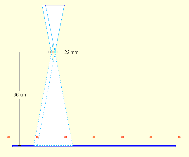
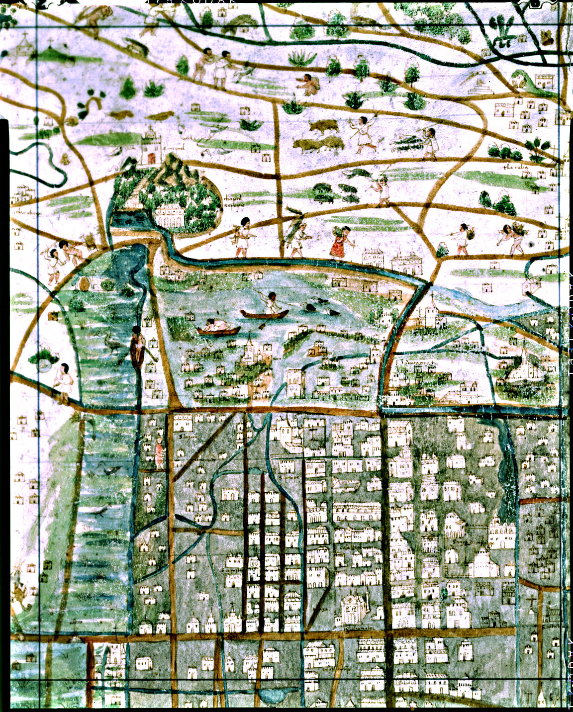
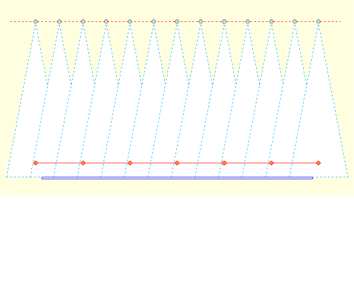
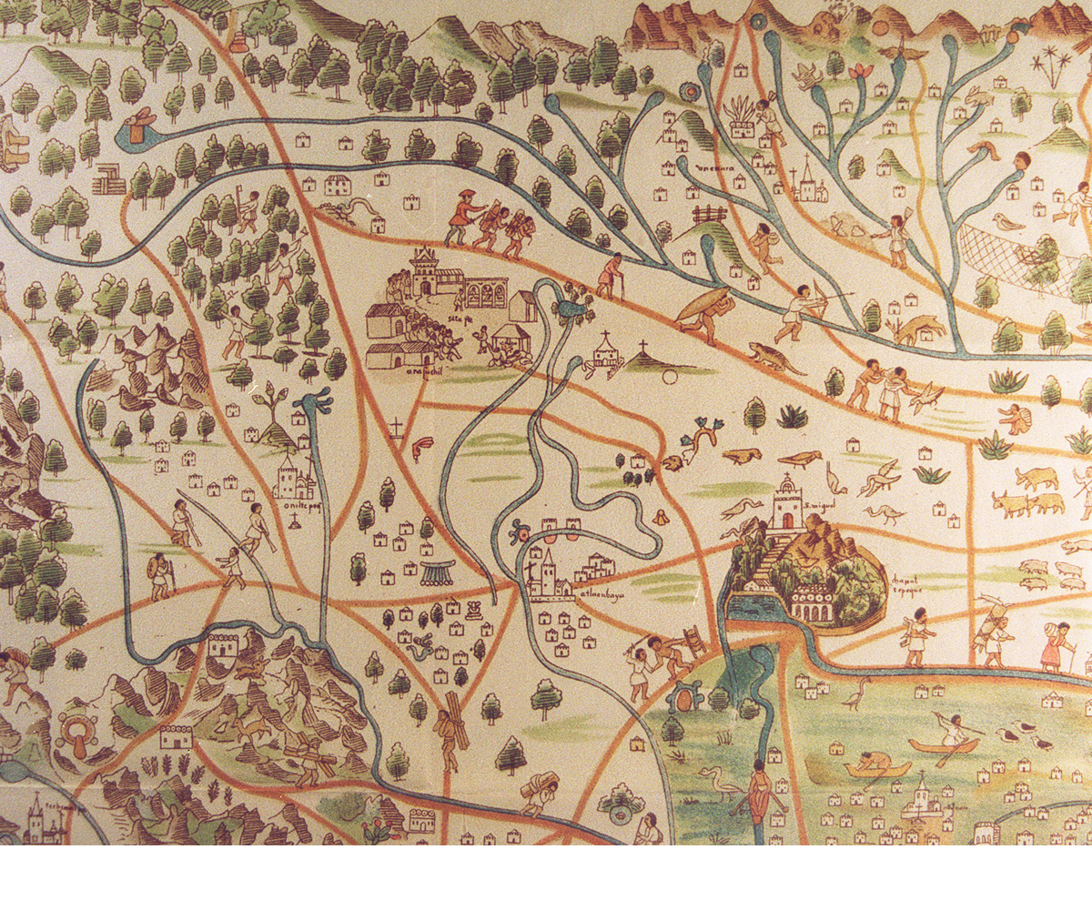
Figure 1. Photography grid
Figure 2. Imaging geometry
Figure 3. Imaging geometry
Figure 4. Photography for 3-D reconstruction
Figure 5. Photography for stereo viewing