1960 - Aerial Photograph
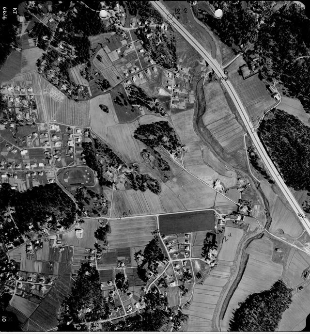

Black and white aerial photograph of the fields of Siiri. The photograph was taken in 1966 for development and planning.
Raisio City Hall, Survey and Maps Department
Black and white aerial photograph of the fields of Siiri. The photograph was taken in 1966 for development and planning.
Raisio City Hall, Survey and Maps Department